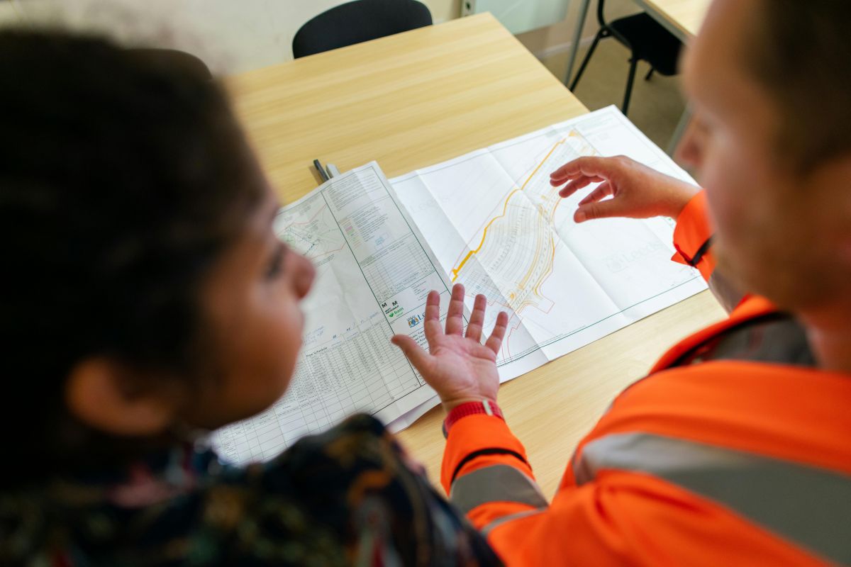
Bring together map elements, field information and project documents in one visual workspace. We don't just provide the software. We manage your migration, configure your system and train your team.


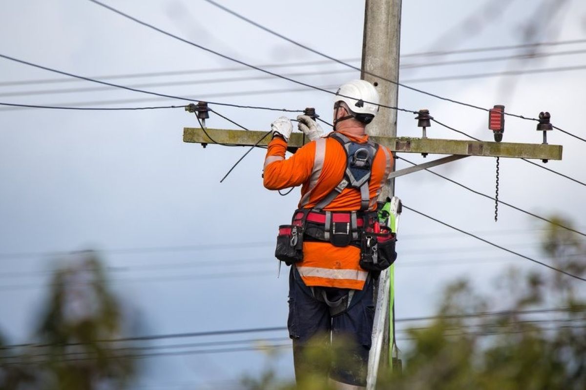
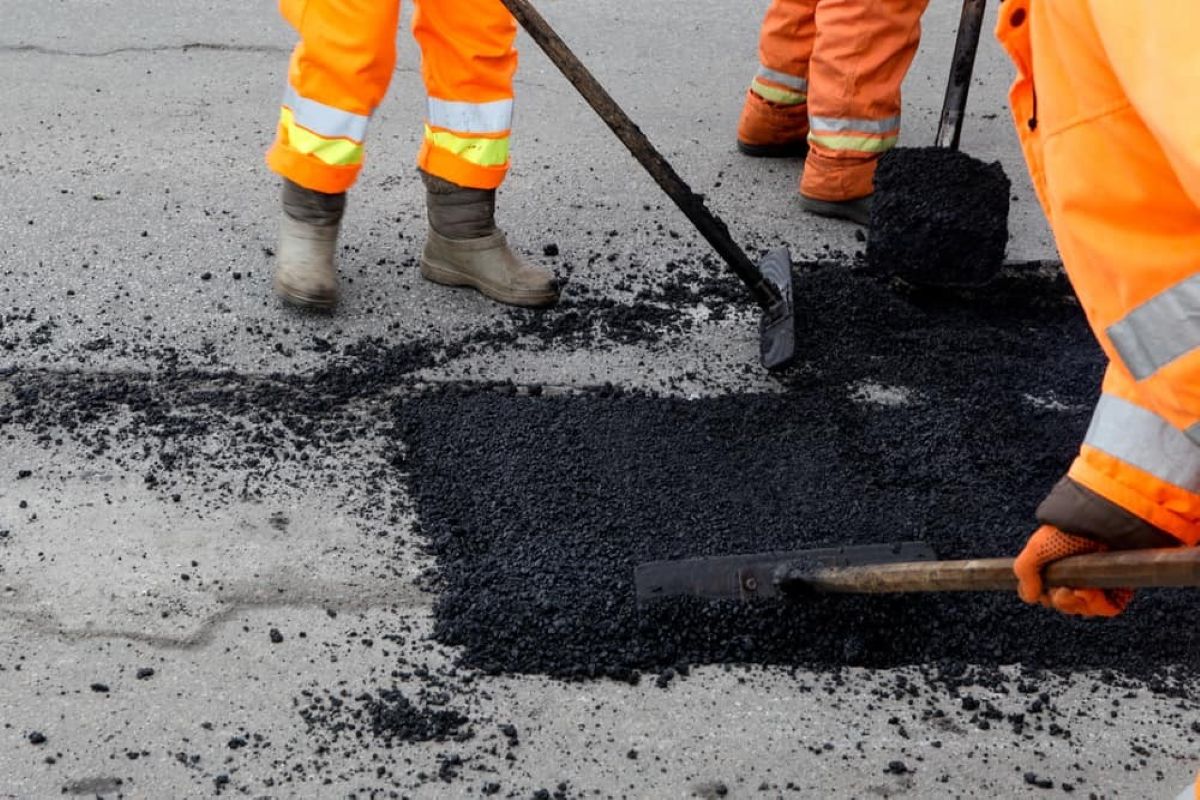


Most field teams still rely on screenshots, marked-up PDFs, spreadsheets, phone calls, and disconnected photos to communicate site activity.
Using live satellite maps, GPS-linked records, and real-time markups, field crews and office staff work from the same shared visual workspace.
From geotechnical testing locations to inspections, installations, maintenance, and asset recording, teams can visually manage work directly against real-world locations.
With Live Site Map everyone on your team will know what it is, where it is instantly.




If you have any further questions or need assistance with Live Site Map, feel free to reach out to us anytime

If you have any further questions or need assistance with Akaunt, feel free to reach out to us anytime